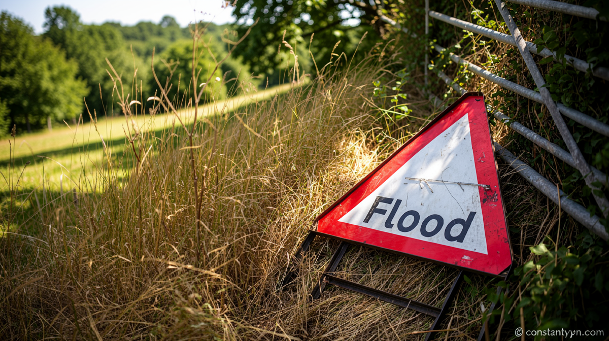
Storm Cells Sweep South as UK Weather Pattern Shifts Sharply
Constantvpn.com – After weeks of unbroken sunshine and record-breaking heat, the British Isles are being battered by a fresh wave of convective storms that will keep large portions of the country under threat of torrential rain, hail, and lightning through Thursday. The sudden reversal marks the end of a prolonged high-pressure regime that had locked in dry, warm conditions across most of the island, and its replacement by a deepening low-pressure system is what has unleashed the unstable air now fueling violent storm clouds.
Immediate Flooding and Travel Hazards
A Met Office yellow thunderstorm warning is active across northern England and north Wales, remaining in force until 10:00 BST on Thursday. Within that warning zone, rainfall rates of 15 to 20 millimetres per hour are possible, with accumulations of 30 to 50 mm over a six-hour window. Because the ground in many affected areas has been baked hard by the preceding hot, dry spell, flash flooding is a realistic danger — particularly in urban catchments and low-lying road corridors where runoff cannot soak into parched soil.
Lightning and hail add further hazards to an already treacherous picture. As the morning progresses, the heaviest cells are expected to peel away from the north and migrate southward and eastward, reaching other parts of Wales, the Midlands, East Anglia, and southern England. A handful of downpours in those regions could still pack a thundery punch, though intensity will generally diminish with distance from the core of the low.
Scotland and Northern Ireland will also experience scattered showers, but these should be noticeably weaker, with a reduced probability of accompanying thunder.
Greasy Roads and the Driving Danger
Motoring safety experts have issued urgent guidance for drivers navigating the transition from weeks of dry conditions back into wet weather. The RAC’s road safety spokesperson, Rod Dennis, explains the specific mechanism at play:
“Oil, fuel and rubber deposits that have built up over many weeks will now have been mixed together by the light rain, instead of being washed away, which means drivers are at greater risk of skidding on greasy roads.”
“If heavier rain arrives, motorists may have to contend with the danger of flash floods in some areas.”
The practical advice is straightforward: reduce speed well below normal, increase following distance substantially, and allow extra time for journeys. Puddles that look shallow can conceal washed-out road surfaces, and standing water over culverts or low bridges can rise quickly when storm cells dump their full payload within minutes.
Temperatures Plunge Below Seasonal Norms
As northerly winds strengthen across the UK, a marked cooling is underway. Thursday afternoon highs are forecast at between 13 °C and 23 °C, making it the first day since 29 June that no location in the country is expected to reach 25 °C. Friday will be cooler still, with daytime maxima of roughly 15 to 23 °C — figures that sit below the typical August average for most of the UK.
Nighttime temperatures will drop sharply. Friday night is set to be the chilliest for some time, with readings widely falling into single digits. Parts of Scotland and northern England could see overnight lows of just 3 or 4 °C. The weekend will retain chilly nights, though daytime temperatures are expected to rebound modestly as high pressure attempts to reassert itself, bringing reduced rainfall and increased sunshine.
Drought Context: Rain Is Not Enough
Even with storms returning, hydrologists caution that the drought gripping much of the UK will not be resolved by a single day of showers. Replenishing depleted aquifers, river flows, and reservoir stocks requires a sustained period of persistent, widespread rainfall — a condition that may not be confirmed until late in the coming winter. More than two-thirds of England remains classified as being in drought, and hosepipe bans continue in numerous localities.
That said, the dry spell has not been uniform across the island. Aultbea in the Scottish Highlands has recorded 389.6 mm of rainfall so far this summer — more than one and a half times the seasonal norm and only 10.2 mm short of its wettest summer on record. The contrast between that Highland station and the parched lowlands of southern England underscores just how unevenly the summer’s rainfall has been distributed.
What to Expect Going Forward
The next several days will see a tug-of-war between the incoming low and the rebuilding high. Showers will remain a feature of the forecast, with localized intensity possible wherever unstable air meets a lifting trigger. Drivers, farmers, and flood-plain residents should monitor local warnings closely, as the combination of saturated ground, residual storm energy, and residual dry-soil runoff creates a uniquely hazardous window for flash flooding that will persist until the soil profile fully re-wets.
Related Reading
Frequently Asked Questions
What is Downpours to continue for UK?
Downpours to continue for UK is the main topic of this guide. The article explains the context, practical details, and next steps readers should understand.
Why does Downpours to continue for UK matter?
Downpours to continue for UK matters because readers are looking for a useful answer, not just a short summary. Good content should match search intent and help them decide what to do next.
