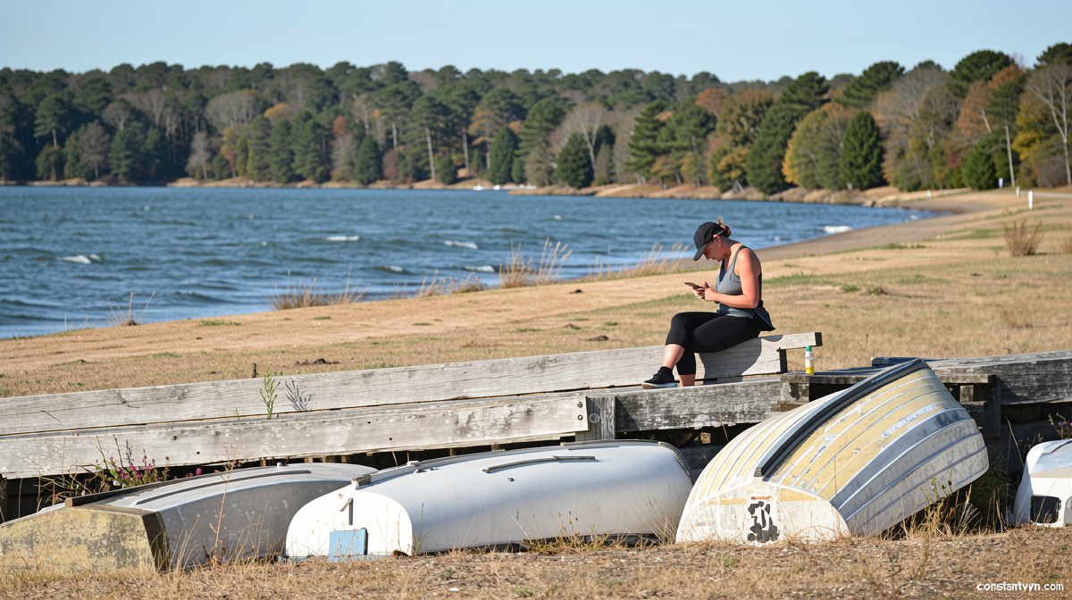
A Short Window of Sunshine Before the Rain Returns
Constantvpn.com – The relentless drizzle that has dogged much of Britain through the first half of this week is about to pause. A robust ridge of high pressure is sliding across the British Isles over the coming two days, clearing skies and delivering a rare stretch of warm, dry conditions. Yet meteorologists caution that this reprieve is fleeting. By the time the calendar flips to next week, a low-pressure system emerging from France will sweep showers back into southern and south-western regions, followed by more persistent rainfall from midweek onward.
The Mechanics of the Weekend Break
High-pressure systems act as a ceiling over the atmosphere, suppressing cloud formation and forcing air to sink and warm adiabatically. When such a system parks itself over the UK, the result is typically clear skies, light winds, and a widening gap between overnight lows and daytime highs. That is precisely the pattern forecast for Saturday and Sunday. The pressure ridge will not linger, however. Models indicate it will begin drifting eastward as early as Monday, opening the door for Atlantic and continental low-pressure systems to reassert themselves.
Saturday: A Chilly Dawn, a Mild Afternoon
Those who step outside on Saturday morning will encounter air that feels decidedly autumnal. Rural locations across the country are expected to register temperatures near 3 °C at dawn, while larger urban centres—where concrete and asphalt retain residual warmth—may edge into the 6–9 °C range. Such readings are entirely unremarkable for late August, a period when diurnal temperature swings grow noticeably wider than those seen in July. The contrast between those frigid early hours and the afternoon peak is what gives the day its sharp seasonal character.
By mid-afternoon, northern regions should climb to roughly 18 °C, while central and southern England will push into the low 20s Celsius—values that sit close to the climatological norm for the final week of August. Skies will remain largely dry, though the Scottish Highlands may see the occasional shower as residual moisture lingers in elevated terrain. The overall impression will be one of crisp, bright conditions with a gentle breeze.
Sunday: The Warmest Day of the Stretch
Sunday promises to be marginally warmer than its predecessor, particularly south of the Midlands. Light winds and predominantly sunny conditions are anticipated from the morning onward. Scattered fair-weather cumulus will dot the southern and central skies, while northern England, Scotland, and Northern Ireland will see a slightly thicker cloud cover without significant precipitation.
Afternoon maxima in the south are forecast to reach the mid-20s Celsius. Southampton, Reading, and London are all expected to top out around 24–26 °C. These figures, while pleasant, remain well below the exceptional heat recorded earlier this month, when several locations briefly breached record thresholds. The weekend warmth is a return to seasonal norms rather than an anomaly.
The Return of Rain: Monday Night Through Midweek
The high-pressure ridge will not hold its position. Indications suggest it will vacate the UK by the start of next week, allowing a shallow low-pressure system to encroach from the west. A showery trough, already stirring over France, is projected to edge toward southern and south-western Britain as early as Monday evening. The spatial extent of those showers carries considerable uncertainty; some model runs place the leading edge along the Channel coast from Cornwall to Kent, with further spread northward overnight into Tuesday.
The rainfall context matters. Earlier this week, parts of Lancashire recorded more than a third of their average monthly precipitation total within a single 24-hour period—a reminder of how quickly saturated soils and waterlogged ground can develop during prolonged wet spells. If the midweek pattern deepens, western Britain will bear the brunt of the heaviest rain. Several computer models are developing a more vigorous low close to the archipelago, which would deliver sustained precipitation rather than isolated showers.
Exact totals remain difficult to pin down at this range, but upland areas in the west could accumulate 30–40 mm by the end of next week. Eastern Britain, sheltered by the rain shadow of the Pennines and the Welsh Hills, would receive roughly half that amount. For gardeners, farmers, and outdoor planners, the distinction between a brief weekend lull and a week-long soaking period carries practical consequences for drainage, soil compaction, and event scheduling.
Broader Seasonal Context
Late August sits at a transitional point in the UK’s annual weather cycle. Days remain long enough to deliver meaningful solar heating, yet the angle of the sun is declining rapidly, and the frequency of Atlantic frontal systems is increasing. The temperature swings described above—nearly 20 °C between dawn and midday—are characteristic of this liminal period and will intensify through September.
Looking further ahead, the Met Office has flagged that the current El Niño episode is shaping up to be the strongest in living memory. While the immediate weekend forecast is governed by local pressure patterns, the broader teleconnections associated with a strong El Niño tend to favour a stormier autumn and a colder-than-average winter across the British Isles. Whether this particular episode will amplify those tendencies remains an active area of research, but the seasonal backdrop adds weight to the prospect of a wetter-than-normal second half of the year.
For those planning outdoor activities over the weekend, the window is narrow but genuine. Two days of sunshine and mild warmth will be available before the skies close again. After that, the rain returns—and with it, the need to keep an eye on updated local forecasts as the situation evolves through the week.
Related Reading
Frequently Asked Questions
What is Brief break from rain as sunshine?
Brief break from rain as sunshine is the main topic of this guide. The article explains the context, practical details, and next steps readers should understand.
Why does Brief break from rain as sunshine matter?
Brief break from rain as sunshine matters because readers are looking for a useful answer, not just a short summary. Good content should match search intent and help them decide what to do next.
